publications
论文
publications in reversed chronological order.
按时间倒序排列的发表论文。
2026
-
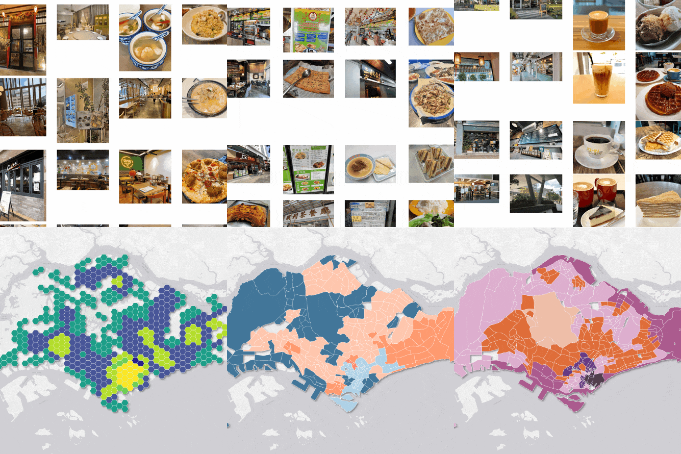 Inferring Urban Functions From Google Maps Reviews: A Multi-Scale, Multi-Modal And Cross-City ApproachHaixiao Liu, Sijie Yang, Mahmoud Abdelrahman, Yihan Zhu, Xiaobing Wei, and Filip Biljecki*Computers, Environment and Urban Systems, 2026
Characterising and classifying urban functions is a long-standing research focus in urban studies and plays a critical role in urban management and community renewal. However, traditional point-of-interest (POI) categories rely on predefined labels that are often inconsistent across cities and may not fully capture how places are described, represented, or experienced in user-generated data. Further, point-based representations are highly sensitive to spatial aggregation scales, which limits their ability to capture areal functional characteristics and relative differences in POI activity intensity. To address these challenges, we propose a unified framework that, for the first time, leverages place reviews from Google Maps, a form of user-generated geographic information, as a previously untapped POI-linked extended data stream for urban functional inference and classification. Specifically, we employ pre-trained BERT and Vision Transformer models to embed textual and visual information from place reviews, enabling POIs in Singapore and Hong Kong to be represented and clustered within a shared functional embedding space. We then incorporate the weighted volume of place reviews as an indicator of relative POI activity intensity to construct category intensity vectors for spatial units, and demonstrate their effectiveness through cross-city similarity matching tasks. Finally, urban functional classification is conducted across three spatial scales: a 1 km hexagonal grid, administrative areas, and traffic analysis zones (TAZs), using graph neural networks combined with k-means clustering, producing results that preserve spatial continuity and robustness. The proposed framework provides a data-driven approach that highlights the value of place reviews as a complementary data source to conventional POIs and offers a reliable urban functional classification that works across different cities.
@article{liu2026inferring, title = {Inferring Urban Functions From Google Maps Reviews: A Multi-Scale, Multi-Modal And Cross-City Approach}, author = {Liu, Haixiao and Yang, Sijie and Abdelrahman, Mahmoud and Zhu, Yihan and Wei, Xiaobing and Biljecki, Filip*}, journal = {Computers, Environment and Urban Systems}, volume = {129}, pages = {102475}, year = {2026}, month = oct, publisher = {Elsevier}, doi = {10.1016/j.compenvurbsys.2026.102475}, } -
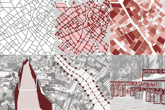 Urbanpedia As An Interactive Design Dictionary: A Quantitative Morphological Approach For WalkabilityShanzhi Kang, Yongjie Cai, Teng Zhong, Yuxuan Liu, Sijie Yang, and Yu YeSustainable Cities and Society, 2026
Walkability has become a critical issue in contemporary urban design and renewal to build sustainable cities, as decades of rapid urban expansion have undermined pedestrian experiences. Despite considerable scholarly discussion, urban designers still lack practical, morphology-based tools to guide the enhancement of walkability. In response, we distilled 12 walkability- and design-oriented urban indicators from 78 candidates using large language models (LLMs) and expert validation. Using a suite of morphological analysis and computer vision techniques, we quantitatively examined approximately 4600 urban blocks across 50 pedestrian-friendly districts worldwide and identified their common features through the lens of five design factors derived from PCA. Based on these findings, we developed a personalized recommendation approach that provides reference indicator value ranges using multilabel semantic matching and relevance-weighted calculation. Subsequently, URBANPEDIA, an interactive and collaboratively extensible design dictionary built on crowdsourced data, was developed. The platform provides design guidance for practitioners to enhance walkability while serving as a data infrastructure for the research community. This study demonstrates a scalable methodological framework that integrates LLMs, spatial analysis, and crowdsourced data to bridge the disconnect between research and practice, contributing to a paradigm shift toward computational urban science with human concerns.
@article{kang2026urbanpedia, title = {Urbanpedia As An Interactive Design Dictionary: A Quantitative Morphological Approach For Walkability}, author = {Kang, Shanzhi and Cai, Yongjie and Zhong, Teng and Liu, Yuxuan and Yang, Sijie and Ye, Yu}, journal = {Sustainable Cities and Society}, volume = {147}, pages = {107550}, year = {2026}, month = sep, doi = {10.1016/j.scs.2026.107550}, } -
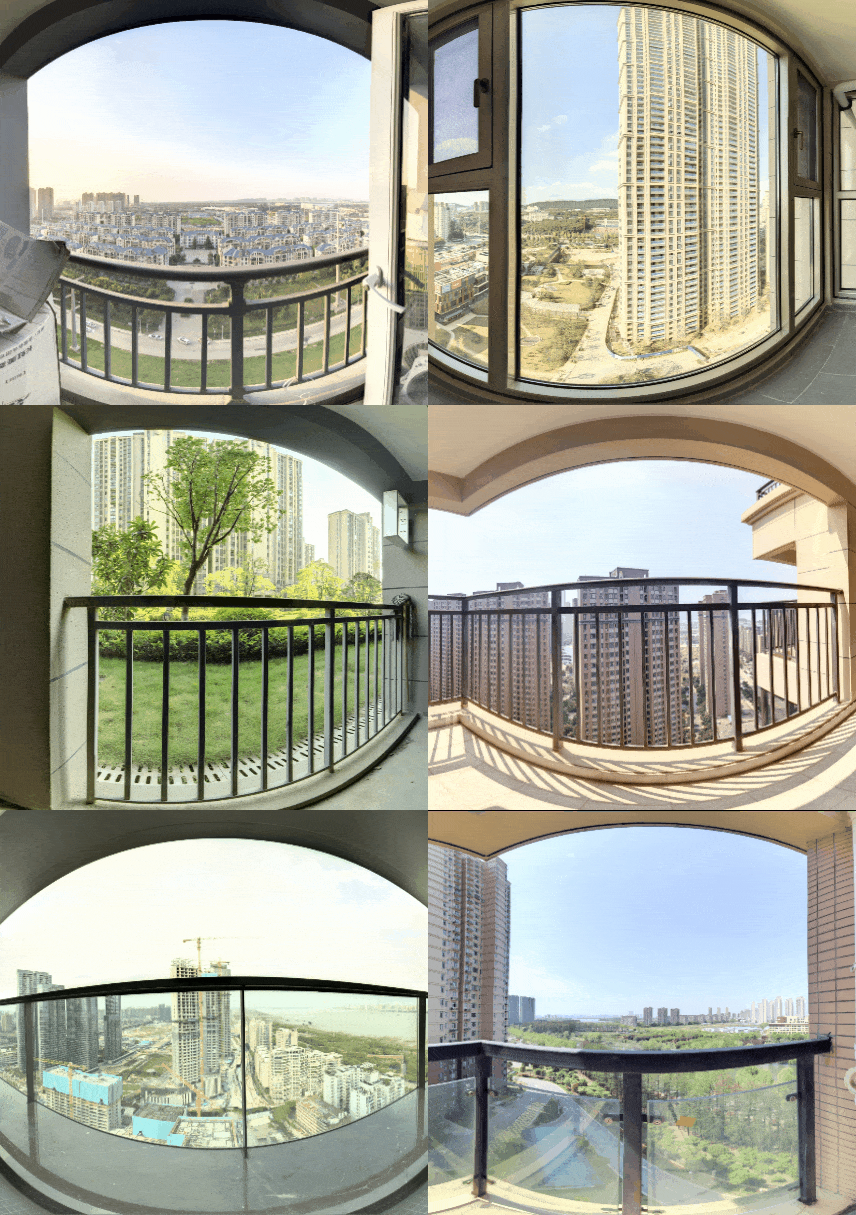 City Landscape In Sight: A Crowdsourced Framework For Unlocking Urban-Scale Window View Perceptions From Real Estate ImageryLandscape and Urban Planning, 2026† Equal contribution. Accepted manuscript.
City landscapes viewed through home windows influence quality of life, yet perceptions of actual window views at the urban scale remain understudied. This study presents an approach for large-scale mapping of perceptions using 12,334 window view images (WVIs) collected from actual residential properties listed on real estate platforms in Wuhan, China, representing a rarely explored form of urban view imagery that offers advantages over the rendered or simulated window views commonly examined in previous studies. Through a non-immersive virtual reality platform, we collected 27,477 pairwise comparisons across six perceptual dimensions (e.g., Vivid) from 304 participants based on 499 WVIs. A hybrid neural network model was trained to predict human perceptions of all crowdsourced WVIs and map their spatial distribution. Results reveal significant spatial autocorrelation with distinct hot and cold spots across the whole city. Floor level strongly influences human perceptions: while higher floors offer more preferred and extensive window views, lower-floor windows provide residents with quiet and vivid views. An inference model further shows that window view composition matters considerably: high ratios of sky, trees, and low-rise buildings enhance people’s preferences and perceptions of vividness, whereas high ratios of high-rise buildings increase perceptions of monotony and oppression. Importantly, these effects are non-linear: the excessive presence of certain elements can alter their impact on human perception. This work advances urban-scale understanding of residents’ visual experiences and provides evidence-based guidance for human-centric urban planning and real estate to optimise visual landscapes from windows.
@article{peng2026citylandscape, title = {City Landscape In Sight: A Crowdsourced Framework For Unlocking Urban-Scale Window View Perceptions From Real Estate Imagery}, author = {Peng, Chucai† and Yang, Sijie† and Liu, Ang and Xiang, Yang and Zhou, Zhixiang and Biljecki, Filip*}, journal = {Landscape and Urban Planning}, year = {2026}, publisher = {Elsevier}, note = {† Equal contribution. Accepted manuscript.}, } -
 StreetRAG-Index: Concept-to-Index Retrieval-Augmented Generation Over Urban Street NetworksIn Proceedings of the 15th International Space Syntax Symposium, 2026
@inproceedings{yang2026streetrag, title = {StreetRAG-Index: Concept-to-Index Retrieval-Augmented Generation Over Urban Street Networks}, author = {Yang, Sijie and Law, Stephen and Fan, Zicheng and Biljecki, Filip*}, booktitle = {Proceedings of the 15th International Space Syntax Symposium}, address = {Johor Bahru, Malaysia}, month = jun, year = {2026}, }


2025
-
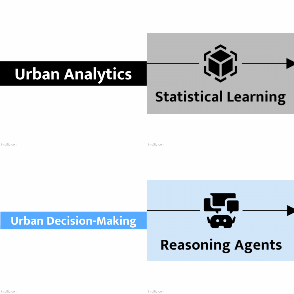 Reasoning Is All You Need For Urban Planning AISijie Yang, Jiatong Li, and Filip Biljecki*In AAAI 2026 (Poster) - AI for Urban Planning (AI4UP), 2025
AI has proven highly successful at urban planning analysis – learning patterns from data to predict future conditions. The next frontier is AI-assisted decision-making: agents that recommend sites, allocate resources, and evaluate trade-offs while reasoning transparently about constraints and stakeholder values. Recent breakthroughs in reasoning AI – CoT prompting, ReAct, and multi-agent collaboration frameworks – now make this vision achievable. This position paper presents the Agentic Urban Planning AI Framework for reasoning-capable planning agents that integrates three cognitive layers (Perception, Foundation, Reasoning) with six logic components (Analysis, Generation, Verification, Evaluation, Collaboration, Decision) through a multi-agents collaboration framework. We demonstrate why planning decisions require explicit reasoning capabilities that are value-based (applying normative principles), rule-grounded (guaranteeing constraint satisfaction), and explainable (generating transparent justifications) – requirements that statistical learning alone cannot fulfill. We compare reasoning agents with statistical learning, present a comprehensive architecture with benchmark evaluation metrics, and outline critical research challenges. This framework shows how AI agents can augment human planners by systematically exploring solution spaces, verifying regulatory compliance, and deliberating over trade-offs transparently – not replacing human judgment but amplifying it with computational reasoning capabilities.
@inproceedings{yang2025reasoning, title = {Reasoning Is All You Need For Urban Planning AI}, author = {Yang, Sijie and Li, Jiatong and Biljecki, Filip*}, booktitle = {AAAI 2026 (Poster) - AI for Urban Planning (AI4UP)}, year = {2025}, month = nov, } -
 Urban Comfort Assessment In The Era Of Digital Planning: A Multidimensional, Data-Driven, And AI-Assisted FrameworkIn CUPUM 2025 (Oral), 2025
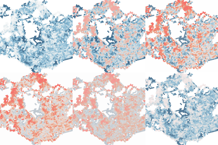
Ensuring liveability and comfort is one of the fundamental objectives of urban planning. Numerous studies have employed computational methods to assess and quantify factors related to urban comfort such as greenery coverage, thermal comfort, and walkability. However, a clear definition of urban comfort and its comprehensive evaluation framework remain elusive. Our research explores the theoretical interpretations and methodologies for assessing urban comfort within digital planning, emphasising three key dimensions: multidimensional analysis, data support, and AI assistance.
@inproceedings{yang2025urban, title = {Urban Comfort Assessment In The Era Of Digital Planning: A Multidimensional, Data-Driven, And AI-Assisted Framework}, author = {Yang, Sijie and Lei, Binyu and Biljecki, Filip*}, booktitle = {CUPUM 2025 (Oral)}, address = {UCL East, London, UK}, month = jun, year = {2025}, } -
 Thermal Comfort In Sight: Thermal Affordance And Its Visual Assessment For Sustainable Streetscape DesignBuilding and Environment, 2025
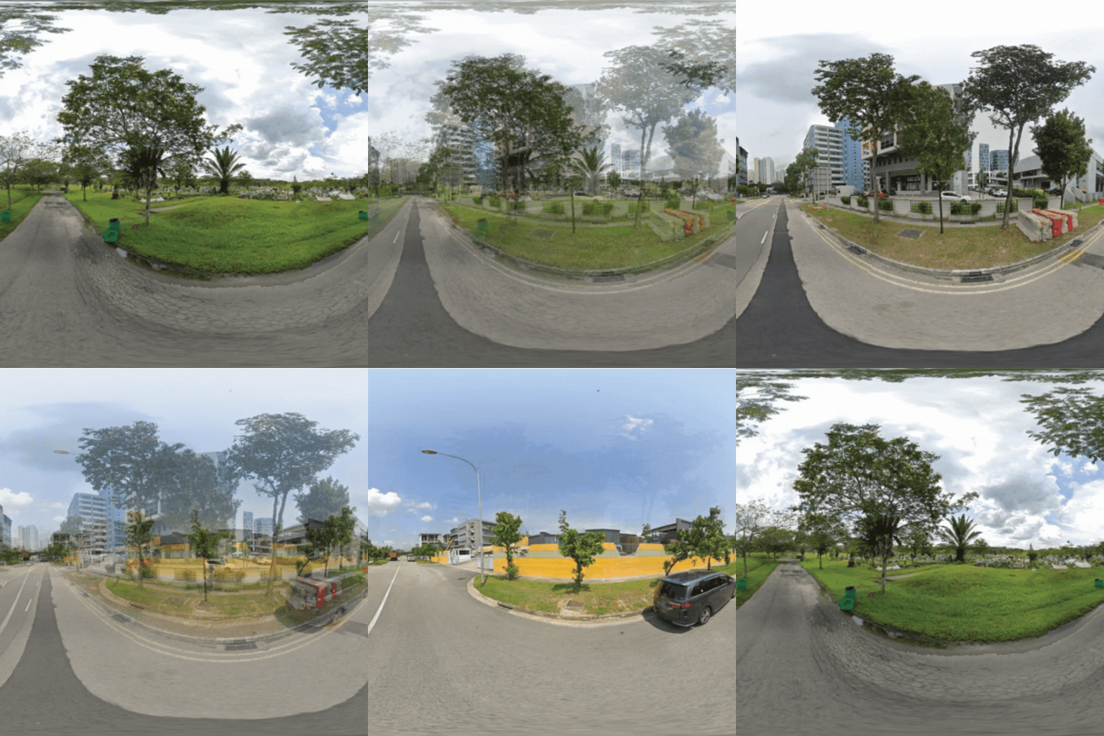
In response to climate change and urban heat island effects, enhancing human thermal comfort in cities is crucial for sustainable urban development. Traditional methods for investigating the urban thermal environment and corresponding human thermal comfort level are often resource intensive, inefficient, and limited in scope. To address these challenges, we (1) introduce a new concept named thermal affordance, which formalizes the integrated inherent capacity of a streetscape to influence human thermal comfort based on its visual and physical features; and (2) an efficient method to evaluate it (visual assessment of thermal affordance — VATA), which combines street view imagery (SVI), online and in-field surveys, and statistical learning algorithms. VATA extracts five categories of image features from SVI data and establishes 19 visual-perceptual indicators for streetscape visual assessment. Using a multi-task neural network and elastic net regression, we model their chained relationship to predict and comprehend thermal affordance for Singapore. VATA predictions are validated with field-investigated OTC data, providing a cost-effective, scalable, and transferable method to assess the thermal comfort potential of urban streetscape. Moreover, we demonstrate its utility by generating a geospatially explicit mapping of thermal affordance, outlining a model update workflow for long-term urban-scale analysis, and implementing a two-stage prediction and inference approach (IF-VPI-VATA) to guide future streetscape improvements. This framework can inform streetscape design to support sustainable, liveable, and resilient urban environments.
@article{yang2025thermal,
  title = {Thermal Comfort In Sight: Thermal Affordance And Its Visual Assessment For Sustainable Streetscape Design},
  author = {Yang, Sijie and Chong, Adrian and Liu, Pengyuan and Biljecki, Filip*},
  journal = {Building and Environment},
  year = {2025},
}


2023
-
 The Role Of Subjective Perceptions And Objective Measurements Of The Urban Environment In Explaining House Prices In Greater London: A Multi-Scale Urban Morphology AnalysisISPRS International Journal of Geo-Information, 2023
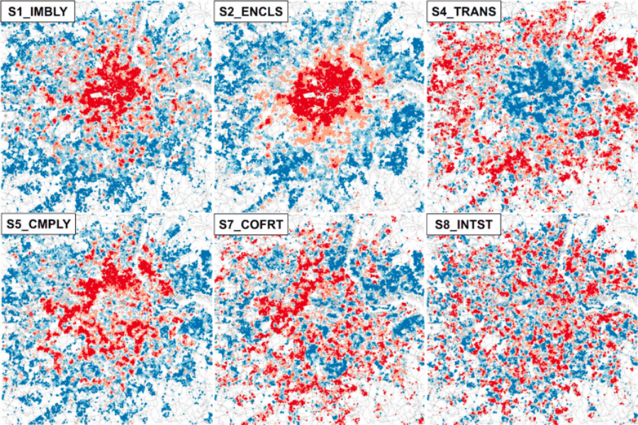
House prices have long been closely related to the built environment of cities, yet whether the subjective perception (SP) of these environments has a differing effect on prices at multiple urban scales is unclear. This study sheds light on the impact of people’s SP of the urban environment on house prices in a multi-scale urban morphology analysis. We trained a machine learning (ML) model to predict people’s SP of the urban environment around properties across Greater London with survey response data from an online survey evaluating people’s SP of street view image (SVI) and linked this to house price data. This information was used to construct a hedonic price model (HPM) and to evaluate the association between SP and house price data in a series of linear regression models controlling location information and urban morphological characteristics such as street network centralities at multiple urban scales, quantified using space syntax (SS) methods. The findings show that SP influences house prices, but this influence differs depending on the urban scale of analysis. Particularly, a sense of ’enclosure’ and ’comfort’ are important factors influencing house price variation. This study contributes by introducing SP of the urban environment as a new dimension into the traditional HPM and by exploring the economic impact of SP on the house price market at multiple urban scales.
@article{yang2023role,
  title = {The Role Of Subjective Perceptions And Objective Measurements Of The Urban Environment In Explaining House Prices In Greater London: A Multi-Scale Urban Morphology Analysis},
  author = {Yang, Sijie and Krenz, Kimon* and Qiu, Waishan and Li, Wenjing},
  journal = {ISPRS International Journal of Geo-Information},
  volume = {12},
  number = {6},
  pages = {249},
  year = {2023},
  publisher = {MDPI},
}

2022
-
 Comparing Satellite Image And GIS Data Classified Local Climate Zones To Assess Urban Heat Island: A Case Study Of GuangzhouFrontiers in Environmental Science, 2022
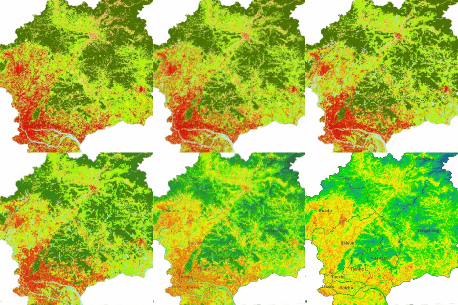
Cities are frontlines to tackle climate change challenges including the urban heat island (UHI) effect. The classification and mapping of local climate zones (LCZs) can effectively and consistently describe the urban surface structure across urban regions. This study pays attention to two mainstream methods in classifying LCZs, namely, by using geographic information system (GIS) data such as building footprints or remote sensing (RS) satellite images. Little has been done to compare the divergence and coherence of the abovementioned two methods in modeling UHI. Thus, by comparing pairwise LCZ classes of different urban form characteristics in Guangzhou, this study investigated how GIS- and RS-based approaches complement or conflict with each other in explaining the variance of UHI measured by land surface temperature (LST). First, while both GIS-based (R2 0.724) and RS-based (R2 0.729) approaches can effectively explain heat risks measured by LST, the RS-based method slightly outperforms the GIS counterpart. Second, the sizes of LCZs classified by two methods in urban core districts tend to converge but diverge in urban outskirts with disparities in low-rise urban forms. Both approaches found that LCZs with higher heights are all cooler among compact forms. LCZ E is always related to the highest average LST, and LCZ 7, 8, and 10 contribute significantly to heat islands from both GIS and RS results. This study has developed a comparable framework that is evident based for city planners, architects, and urban policy makers to evaluate which approaches can more accurately reveal relations between UHI and urban geometry with land cover.
@article{xu2022comparing, title = {Comparing Satellite Image And GIS Data Classified Local Climate Zones To Assess Urban Heat Island: A Case Study Of Guangzhou}, author = {Xu, Xiang and Qiu, Waishan and Li, Wenjing and Huang, Dingxi and Li, Xiaohui and Yang, Sijie}, journal = {Frontiers in Environmental Science}, volume = {10}, year = {2022}, publisher = {Frontiers Media SA}, } -
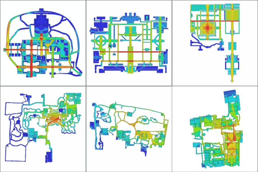 Cultural Impacts On Traditional Chinese Garden Design: A Configurational Comparison Between Traditional Chinese Imperial And Private Gardens Using Space SyntaxSijie Yang, and Yufeng Yang*In Proceedings of the 13th International Space Syntax Symposium, 2022
Based on former qualitative studies, traditional Chinese imperial garden (TCIG) and private garden (TCPG) arguably have different cultural backgrounds and spatial properties. However, few studies have analysed configurational differences between TCIG and TCPG quantitatively and linked their different cultural contexts to these differences. This research thus tries to reveal the cultural impacts on the spatial configuration of traditional Chinese gardens by comparing TCIG and TCPG cases quantitatively. The study is processed in two sections: theoretical exploration and comparative case studies. In the first section, we try to link the different cultural backgrounds of TCIG and TCPG with corresponding garden spatial properties and use proper metrics to match these spatial properties. Four dimensions of traditional Chinese garden spatial properties are identified qualitatively based on previous studies: strong and weak programme, wayfinding system, visual relationship and spatial depth. During the process, four corresponding hypotheses about the spatial property differences and predicted results of quantitative studies are proposed. In the second section, four hypotheses may be demonstrated through visibility graph analysis (VGA) in space syntax theory by comparing three samples from each garden type. Our results indicate that TCIG and TCPG differ in all four dimensions, which are further explained by their respective cultural contexts. This research has two main contributions. Firstly, it has demonstrated configurational differences of TCIG and TCPG quantitatively and linked these differences to related cultural backgrounds. Secondly, this study has built a framework to analyse traditional Chinese garden space with space syntax, which can be used in further studies.
@inproceedings{yang2022cultural, title = {Cultural Impacts On Traditional Chinese Garden Design: A Configurational Comparison Between Traditional Chinese Imperial And Private Gardens Using Space Syntax}, author = {Yang, Sijie and Yang, Yufeng*}, booktitle = {Proceedings of the 13th International Space Syntax Symposium}, pages = {414}, year = {2022}, organization = {International Space Syntax Symposium}, } -
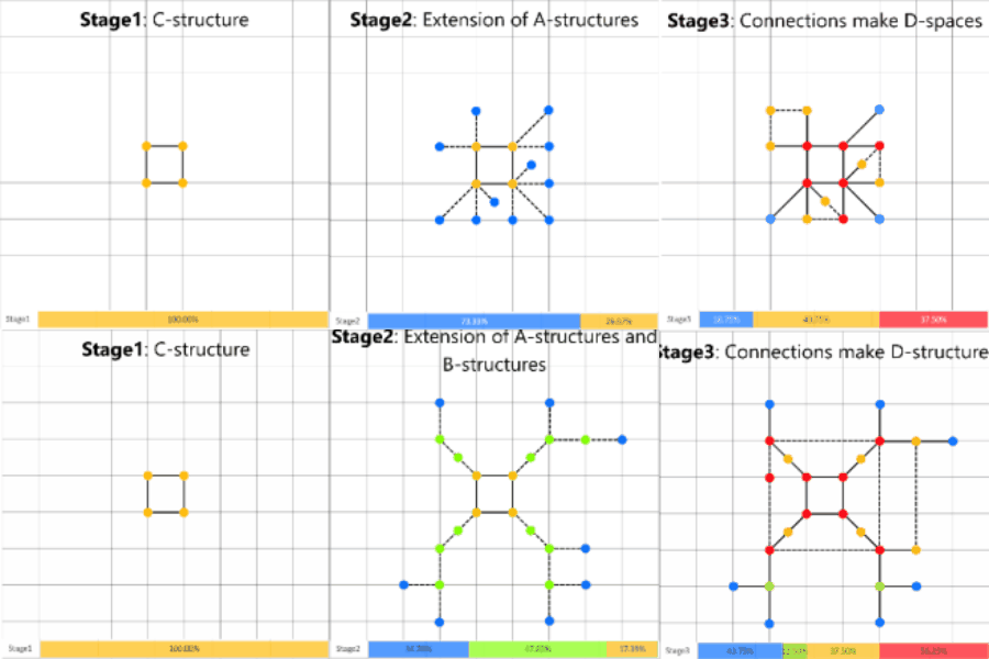 The Social Impact Of Atrium Space In Multilevel Buildings: An Analysis Of University Libraries Using Space SyntaxSijie Yang, and Sophia PsarraAvailable at SSRN 4249348, 2022
The atrium space, as an important prototype of architectural space, has many advantages in terms of energy consumption, social experience and traffic design and is widely used in architectural practice. However, there is still a paucity of research on how atrium spaces organise the flow of people and ultimately have a social impact. Space syntax theory provides effective theoretical support and analytical tools for the study of the social impact of atrium space. This study uses space syntax to conduct axial and visual graph analysis of atrium spaces in two university libraries, and further explores the social impact of atrium spaces in conjunction with the results of field investigations. The results of the analysis reflect three main conclusions: firstly, based on the space structure theory, the atrium space is a space that expands from a C-structure to D-spaces or a D-structure, which is better than the general space in terms of accessibility and visibility. Secondly, depending on whether the library uses the C-structure of the atrium space as a communication space, its functional distribution can be classified as either a weak or a strong programmatic model. Thirdly, the spatial configuration itself guides and influences the behaviour of people, whether in a weak or strong programmatic building. This study identifies the spatial configuration properties of the atrium space and highlights the utilization patterns of spatial configuration attributes by building functions.
@article{yang2022social,
  title = {The Social Impact Of Atrium Space In Multilevel Buildings: An Analysis Of University Libraries Using Space Syntax},
  author = {Yang, Sijie and Psarra, Sophia},
  journal = {Available at SSRN 4249348},
  year = {2022},
}


